New Map Table in the Tower Cabin
Thanks to the NYS Archives, a talented climbing and photographic team in Keene, and relentless volunteers, the Hurricane Fire Tower has a new fire-sighting map table that offers hikers a special look at the tower’s role in saving the Adirondack Forest.
-
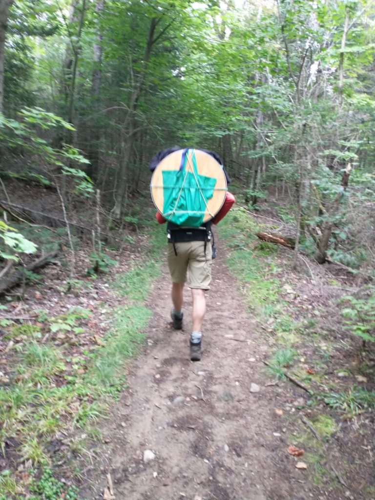
Photo by Peter Slocum -
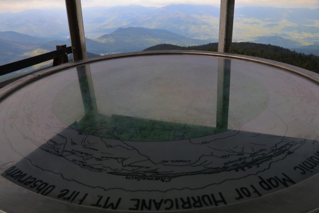
Photo by Mary Jean Bland
The new map table was installed on Labor Day. It combines a hand-drawn outline of surrounding peaks–which were created for virtually all the fire tower mountains back in the early 20th Century–with a modern topographic map. Friends of Hurricane Mountain volunteers located the original sketch in the NYS Archives.
Then the climbing/guiding/photography team of Karen and RL Stoltz created the combination image hikers will see up on the peak today. Hikers can clearly visualize how the observers used their maps to locate “smokes” out there in the woods, and call in fire locations to Rangers on the ground.